The event is set up as a two-day event, but I could only participate today. From Oakton it's a 2-1/2 hour drive to Staunton, VA, so I left here at 4:30 am. It was barely getting light when I pulled into the parking lot of the middle school. The drive to Staunton is very scenic--we have done it many times before. I was obviously missing all that scenery on the morning drive, but knew I would get to enjoy it on the afternoon trip back to Oakton.
I was prepared for a lot of hill climbing on the ride and had decided ahead of time that I would settle for the 50-mile loop option. It turned out to be just the right amount to give me a good workout, see lots of beautiful countryside, and still have energy enough to make it back home.
The 50-mile route:
View Shenandoah Fall Foliage Bike Festival in a larger map
It was quite chilly early in the morning but no rain was in the forecast. I had bundled up and it didn't take long to get warm pedaling up the hills. There was a rest stop about 13 miles from the start, a lunch was served about half way and then an afternoon rest stop about 12 miles from the end. The food was excellent--lots of home baked goodies and healthy choices, too.
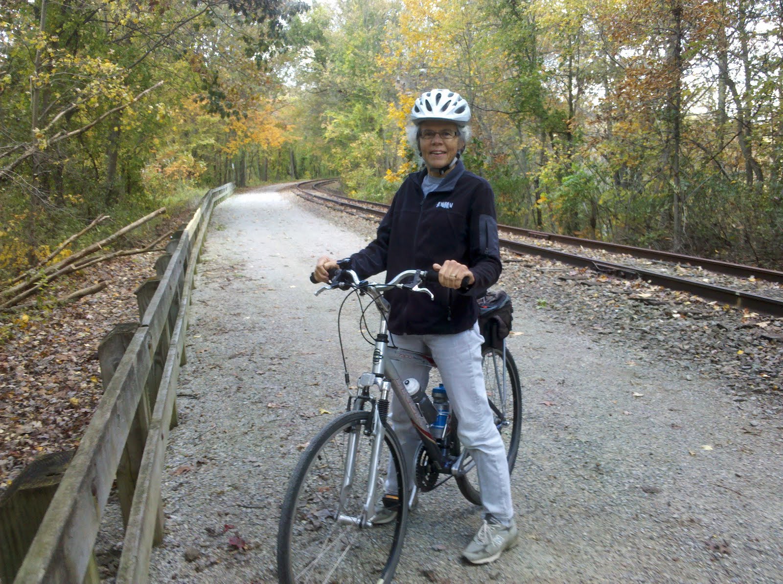
The Shenandoah Valley is gorgeous country and I think this weekend was probably peak time for fall colors. The few pictures that I got don't do justice to the day, but at least give a sense of what a good ride it was.


First rest stop was set up at a church.


Interstate 81 is the route that travels down the Shenandoah Valley and is the route that I used to get to Staunton. The ride crossed over and back twice at two different points. I made a point on the drive home of looking up to see the two places where we had ridden across the interstate.


The Middle River meanders through the Shenandoah Valley around Staunton and there were 4 different times on the route that we crossed the river. Going down to the river always meant a steep climb to get back up.