Sunday, May 27, 2012

Where Did the Week Go?

When you're spending time with family, the days zip by much too quickly.  It's going to be hard to say goodbye on Tuesday.

The Hill family--Daughter (wearing hat), Son-in-law and 2 granddaughters.


We've managed  to enjoy outdoor activities in spite of the uncooperative weather.  Almost all of our previous visits to Medford in past years were at the end of summer.  We've tended to think of Medford as having a hot and sunny climate.  But May in Medford is much different from July and August.

Jackets and long pants that we had stashed away on our travels throughout the Southwest were dug out again from the bottom of our luggage and became our daily wear.  Flowers and trees that we had seen in bloom a month or more ago were just beginning to bloom here.  We were able to experience the green freshness of spring all over again.

Azalea Gardens in Brookings, Oregon.


Joining Ruth for her Tuesday Nite Ladies Ride on country roads and bike path near Medford.


One of the roads on the Tuesday Nite Ladies Ride.


Overnight stay at Whaleshead Resort near Brookings, Oregon.


Enjoying hot tub and kite flying on deck of Whaleshead Resort cabin.


Early morning light on beach walk at Whaleshead.


Yesterday Lee and I went with Ruth and Scott to Southerlin, Oregon, to take part in an organized bike tour of the Umpqua Valley.  Three different loop rides were offered.  Ruth and Scott rode the 65-mile route, while Lee and I managed the 45-mile loop.


View Umpqua bike ride in a larger map

The views of the countryside and Umpqua Valley were our reward for some hard uphill pedaling on parts of the loop.


Rest and Relaxation with family dog, Mattie.


Sunday, May 20, 2012

R&R in Medford, Oregon

Our travels have brought us to my daughter's house in Medford, Oregon, where we are enjoying a week of rest and relaxation as spoiled guests at her home.  She and her husband have both taken a week of vacation from their jobs to spend extra time with us.

Enjoying a coffee break in Jacksonville, Oregon, after a Saturday morning bike ride with family and friends


Our two granddaughters will still have school this week, but we are enjoying their company weekends and evenings.  Everyone attended church together this morning and now it's nice to spend a quiet afternoon at home.

Last week's camping excursion in Lassen National Forest at Eagle Lake Recreation Area was short, but enjoyable.  The lake is California's second largest natural lake, which we thought was interesting, since we had camped just the week before at Clear Lake, the largest natural lake in California.

Eagle Lake in Lassen National Forest

The 2 lakes are very different in their environment and surroundings.  There is much more development around Clear Lake, since it is so close to farmland and populated areas.  The Clear Lake campground we were at was in a state park.  Eagle Lake, about 15 miles from the small town of Susanville, is in a national forest, isolated and undeveloped.

View of Susanville on the road that winds from the mountains down into the valley.


The Lassen National Forest campgrounds had just opened for the season the day before we arrived.  National Forest campgrounds don't have the amenities of state parks, but I thought the campground at Eagle Lake was much nicer than state park campgrounds.  There was even hand soap in the bathrooms, which I have not seen in any California state parks!  Another benefit is that national forest campgrounds cost less than state park campgrounds.

Driving the back roads in the area around Eagle Lake we noticed a bright red flowering plant that we had never seen before.  We later discovered that this was Snow Plant, a parasitic plant that grows under pine trees in coniferous forests at higher elevations.  A very odd-looking plant.


The next day after camping at Eagle Lake, we drove into Susanville and rode our bikes on a stretch of the Bizz Johnson National Recreation Trail.  The section that we were on parallels the Susan River, crossing several bridges and going through two tunnels.

One of the bridge crossings on Bizz Johnson Trail, tunnel entry in background


Bridge crossing on Bizz Johnson Trail, basalt lava cliffs throughout the Susan River Canyon


Susan River along Bizz Johnson Trail
Leaving Lassen National Forest we drove along the eastern edge of the Cascade Mountain Range and made our way north into Oregon.  Thursday evening we stayed in a motel in Klamath Falls, Oregon.  On Friday, before heading to Medford, we took a couple of hours to ride our bikes on the OC&E Woods Line State Trail.

OC&E Woods Line State Trail, near Klamath Falls, Oregon


Today we are keeping a close watch on the weather, not because we have any concern about camping or outdoor activities, but in hopes that the sky will be clear of cloud cover.  So far today, it has been overcast one minute and cloudy the next.  If it is clear between 5-7 pm we will be able to see a rare, annular "Ring of Fire" solar eclipse.  There has not been one of these visible in the US for 18 years.  Oregon is one of the states where the phenomenon will occur.

Even if the weather this afternoon prevents us from seeing the solar eclipse, there are so many other reasons to enjoy our time with family this week in Medford, that we will have no room for complaints.


Tuesday, May 15, 2012

Another Excellent Adventure


The sign on the back of this bench seemed so appropriate for the incredible journey we have been on.  The bench was a viewpoint stop on a hiking trail that we walked after breakfast this morning.  Let me fill you in on the latest news of our travels and explain where we were on our morning hike.

We left Carson City, Nevada, Thursday morning, driving around Lake Tahoe and then over the Sierra Nevada Mountains on the Carson Pass Scenic Byway.  Both of us had been around Lake Tahoe before and knew what a beautiful place it was.  But Carson Scenic Byway was new territory and we were both caught by surprise at the awesome scenery on the 58-mile route.  There's definitely a reason for its scenic byway designation.

Lunch stop along Carson Pass Scenic Byway

A lake viewed along Carson Pass Scenic Byway

Thursday's drive ended at Indian Grinding Rock State Historic Park campground in the Sierra Nevada foothills near Jackson, California.  I enjoyed the history lessons in the park, which is designed to preserve the artifacts and illustrate the culture of the Northern Sierra Miwok Indians who inhabited the area centuries ago.  The campground, however, was not one of the best for providing a restful nights sleep.  Adjacent to the park was a farm, that, although you couldn't see it through the trees, you could hear the loud, annoying cries of peacocks.  They make a sound like stranded cats and must not sleep at all, because they kept wailing all night long.

Reproduction of Roundhouse used for ceremonies and social gatherings by Miwok Indians.

Main grinding rock showing numerous holes where Miwok women pounded acorns and other seed into meal.

A tired Miwok tourist.


Besides the history at Indian Grinding Rock, we had the opportunity Friday, as we were leaving the area, to drive through Volcano and Jackson, reading historic signs of the California Gold Rush days.

View outside of Jackson, California.  Structure to left is Kennedy Gold Mine Frame Head.


On Mother's Day weekend we were spoiled by the lavish hospitality of our friends, Bob and Alice, at their Rio Vista, California, home.  Sunday morning worship service at their church impressed us with the friendliness and welcoming attitude shown by everyone in the congregation.

Yesterday, leaving Rio Vista and driving northwest, we passed through the beautiful Napa Valley, viewing miles and miles of vineyards bright with new spring growth.  Our destination for the night was Clear Lake State Park on the shores of California's largest natural lake.  This campground was very quiet; no noisy peacocks to prevent a good night's sleep.  We had enough energy and time this morning that we were able to enjoy a hike on a forested trail over the ridges that surround the park and overlook the lake.  One of the stopping points was the bench in the photo at the start of this post.

Trail at Clear Lake State Park

View of Clear Lake


Mount Konocti volcanic peak on south end of Clear Lake

Tonight we took a break from camping and are in a motel in Chico, California.  The weather has been great and we hope tomorrow evening to be camping again around Susanville, California.

Wednesday, May 9, 2012

Perfect Weather


In contrast to our windblown camping experience last weekend, the weather for the two days we camped at Millerton Lake State Park was absolutely perfect.  Added to that was the beauty of the area.  Gaviota, being the first time I'd camped in a California state park, had not left me with a very good impression of state parks in California.  But Millerton Lake changed that and I would rate it as one of the best places we've camped so far.


Our campsite at Millerton Lake.


View of the cove from our campsite.

Driving in on the road to the campground.  We were on the Rocky Point loop, which is the point of land visible across the water.


Most of our two days camped at Millerton were spent exploring the nearby city of Fresno, California.  We took a couple of bike rides, and found the city to be bike friendly.


One of the bike trails, a rails-to-trails route called the Clovis Old Town Trail, went into the nearby town of Clovis.

The second day we rode on a bike path that paralleled the San Joaquin River.

Tuesday as we left Millerton Lake our plan was to drive north through Yosemite National Park and then camp in one of the state parks on the east side of the Sierra Nevada mountains.  It would have been nice to have had time to hike a short trail in Yosemite but it didn't work out that way.  It was slow going driving up the winding road that leads into the park and then to Yosemite Valley.  Once we entered the valley we were so overwhelmed by the beauty at every turn in the road that we couldn't help but stop the car to gaze up at the towering granite cliffs and cascading waterfalls.  As usual, when we experience such awesome displays of nature, we want to try and capture it in photos to share with everyone.  It's always "Oh, wait, stop, I need to get a picture here!"  But hours later we look through the pictures and it just doesn't do justice to what we saw.  I think we were especially blessed to visit Yosemite when we did.   At this time of year the snow is melting and the waterfalls are at their peak of glorious, shimmering flow.


Bridalveil Falls

Half Dome

Sentinel Dome

Tunnel View (named this because it's what you see after driving through a tunnel on the road into Yosemite Valley).  It was the first view of the valley and it took my breath away it was so beautiful.  Bridalveil Falls is the waterfall in the distance.

Yosemite Falls--highest waterfall in the US.  No photo can capture the immensity and elegance of the shimmering, ever-changing cascade of water.   I could have stood there and watched for hours.

As we drove out the other side of Yosemite Park we could see why the waterfalls were so full.  The Tioga Road that crosses the northern part of the park is closed November through May because that's where all the winter snows accumulate.  It was obvious as we approached the 8,000 and 9,000 foot elevations that there had been a lot of snow this year, some of it melted but lots more still to melt.

Roadside view driving down the eastern side of the Sierra Nevada's, leaving Yosemite Park on Tioga Road.  Winter hasn't left here yet.


Whereas I would have been happy to spend many more hours in Yosemite Valley, I couldn't wait for us to get back down from the steep mountains on the eastern side of the park.  It wasn't just the cold air up there that bothered me.  It was also the fact that our car had been making an alarming, grinding noise all day and the more we drove it the worse the noise became.  Lee said he was fairly sure that it was the wheel bearings.  As we rounded steep, downhill curves with no guard rails and I peered over the edge I shuddered to imagine us driving along that road and having a wheel fall off the car!

Because of the mechanical issues with the car, we decided to forgo camping and head for the nearest town that would have auto shops.  There aren't any sizable towns in that part of the country so it meant driving into Carson City, Nevada.  We had intended to go there, anyway--it's just that now we arrived a day earlier.  It made for a long day of driving but the car got us there without breaking down.  We just "happened" (I'm sure God's provision was in there somewhere) to find a motel as we came into town that was right across the street from the Subaru dealer.  The service shop at the dealership was able to work on the car first thing this morning and had it done by early afternoon.

We are now spending our second night in the Carson City motel and will continue our journey tomorrow.
Bike riding in Carson City, Nevada, while waiting for our car to get fixed.


Sunday, May 6, 2012

California Dreamin'

The first week in May and there we were on our way to spend some time in sunny, southern California. We thought our weather troubles would be left behind. What we didn't know is that in May the Los Angeles area is subject to a localized weather phenomenon called the Catalina Eddy. This causes the chilly "May Gray" and "June gloom" that our hostess, Meg, told us has arrived like clockwork every May and June since they have lived there.

Tuesday evening driving around the San Gabriel Mountains to the north of LA, on our way to Matt and Meg's North Hollywood neighborhood, we found ourselves driving from hot, sunny desert conditions into a cool, drizzly gray day. Meg assured us that it had been warm and sunny in the days preceding our visit. And the weatherman predicted that the cloudy weather would only last for a couple of days. But it still made us feel that we somehow manage to drag bad weather around with us wherever we travel.

But, regardless of the weather conditions, we couldn't have had a warmer welcome by Matt and Meg. They weren't able to take time off from their jobs, but they were very gracious hosts, providing us with information as we explored on our own during the 3 days we were there. Wednesday evening Matt drove us to downtown Hollywood where we had dinner and strolled the "Walk of Fame."

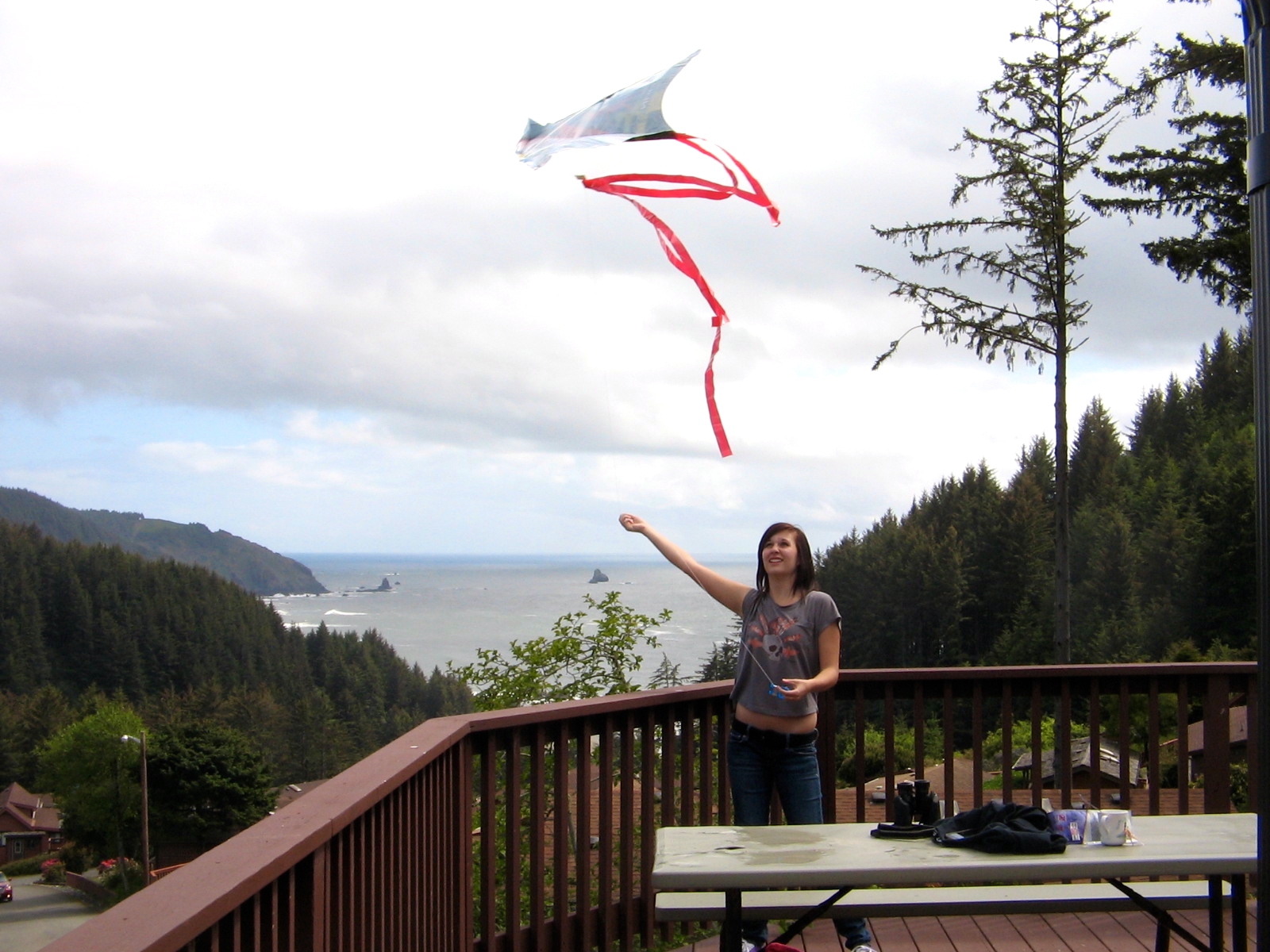
Walk of Fame in Hollywood.
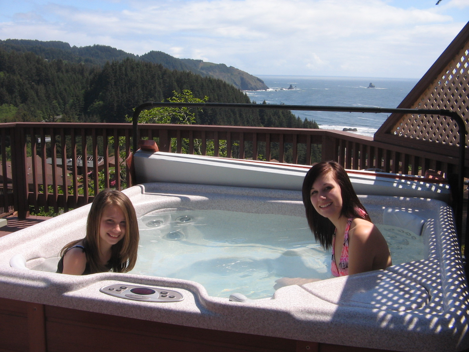
An afternoon bike ride in LA that included some miles on the Chandler Avenue Bike Path.


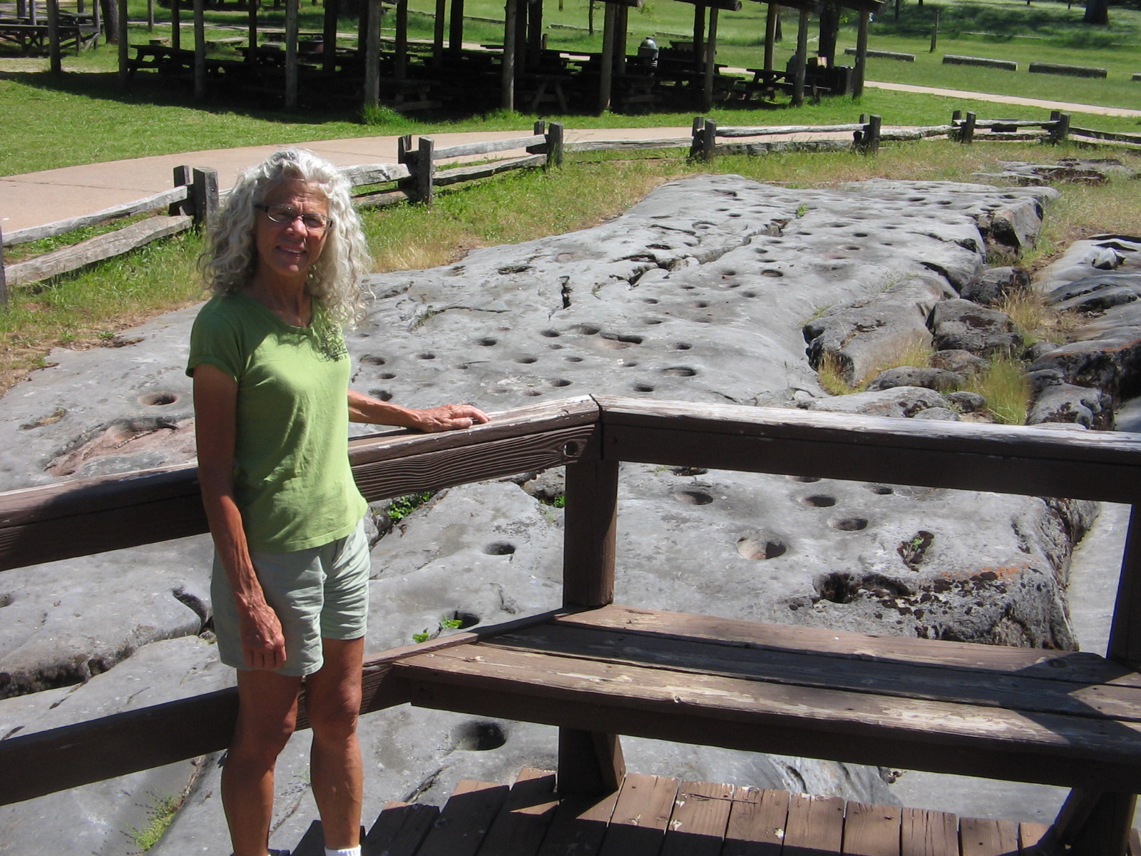
Thursday and Friday we had the pleasure of visiting with Agnes, who had made the trip from Phoenix to spend several days at Matt and Meg's.

Friday after lunch we said our goodbyes to North Hollywood and continued our California travels. The Catalina Eddy effect had dissipated, leaving clear, sunny skies, although a bit on the cool side. Now that the sun was back we felt we shouldn't leave LA and the coast without stopping by one of the beaches. Meg had given us directions to an area where we could walk the beach, but as we drove the highway in that direction we saw a sign warning of an accident and a road closure on the road that would take us to the beach. Lee had researched a state park further up the coast where we could camp for the night so we decided to skip the beach in LA, since we would be seeing a beach at the state park.

It's a good thing that we didn't take the extra time at the beach in LA. Our destination, Gaviota State Park, turned out to be much further than we thought. The sign off of Highway 101 that we should have taken to enter the park wasn't clear and we passed the entrance, which meant we had to continue up the steep Gaviota Pass to find a turnaround. We later learned that this pass is memorable not only for the views, but has the distinction of appearing in the movie "The Graduate" when Dustin Hoffman as the lost soul, Benjamin Braddock, drives a new Alfa Romeo through the mist and into the Gaviota Tunnel.

We felt a bit like lost souls when we arrived at the park. It wasn't a good precursor that we had noticed road signs up the pass warning of strong crosswinds in the pass. We hadn't done our homework on this particular campground. Otherwise, we might have noticed on the California State Parks web site the phrase "high winds that often blow through the area." High winds would be an understatement for the conditions that greeted us Friday evening.

For those of you who remember our camping experience in San Angelo, Texas, when we lost a tent pole due to the wind that night, I would have to say that the winds at Gaviota were much worse than that. It was too windy to light our camp stove so we drove into nearby Buelton and ate dinner at a restaurant. We came back to the campground and sat in our car as long as possible, putting off the task of setting up the tent. But as daylight faded we couldn't put it off any longer and got out to wrestle with the hurricane force gusts to get the tent up and anchored before it was snatched away. Lee blocked some of the wind's force by turning the picnic table on its side and setting it next to the tent!

A combination of tent tiedowns, upended picnic table and a lot of prayer saw us through the night intact with no broken tent poles. I can't say that I got a whole lot of sleep that night, but when you don't have to get up for work the next morning, a bit of lost sleep isn't that big of a deal. And at some point before daylight, the wind did begin to die down. By the time the sun was up we were able to boil water for our morning tea and set up our camp chairs next to the car, blocking what was left of the wind's force and enjoying some time in the sun.

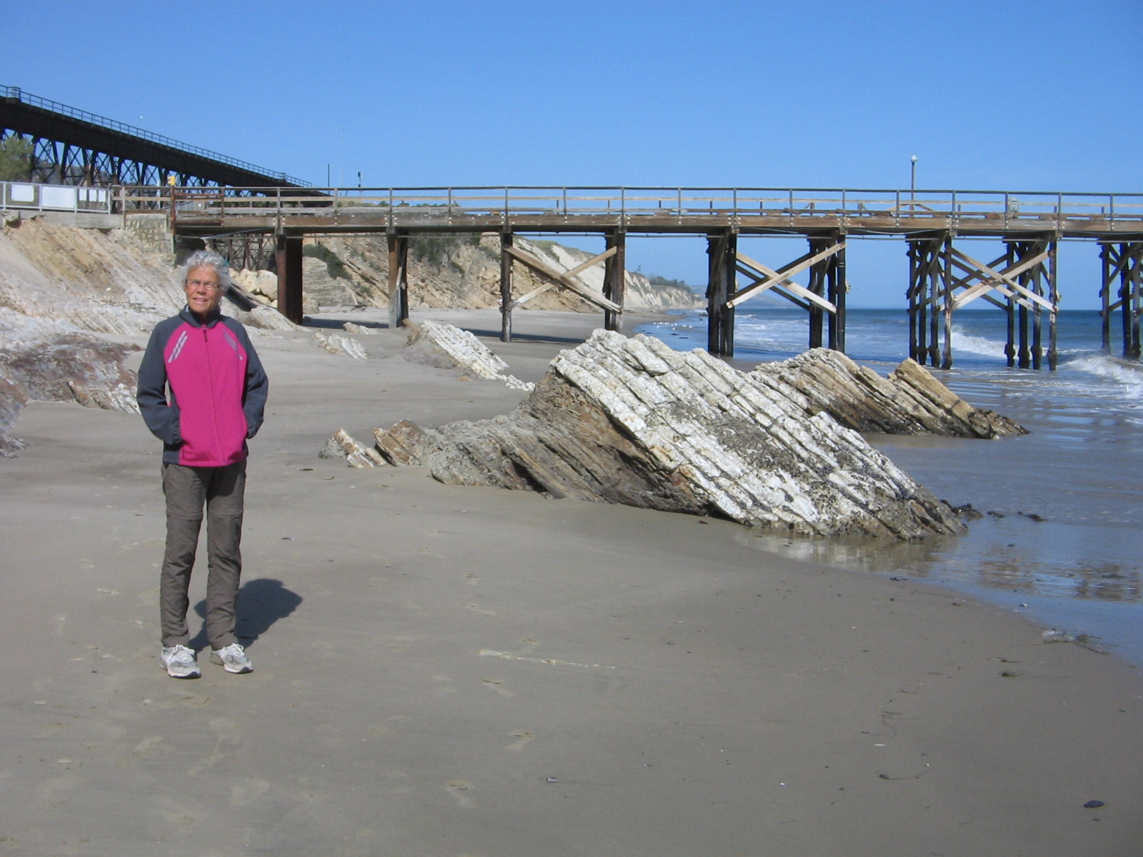
The beach at Gaviota State Park, fishing pier in the background. We saw a whale swimming near the shore around the end of the pier.
Railroad trestle at Gaviota State Park. The campground is to the left of the railroad trestle.
Morning view down the beach at Gaviota State Park.


Our travels yesterday took us through a varied landscape as we made our way from Gaviota to Fresno, avoiding major interstates whenever possible. The highway first crossed the beautiful Santa Ynez and Sierra Madre coastal mountain ranges, green and lush with new spring growth. This gave way to the flat, desolate Carrizo Plain, marked with numerous oil wells that made me think I was back in eastern New Mexico and west Texas. Finally we reached the vast agricultural areas of the San Joaquin Valley. The climate here in Fresno is more to my tastes--dry, warm and sunny. This morning has dawned calm with no winds in sight. As we travel again towards the Sierra Nevada mountains of Kings Canyon and Sequoia National Parks, I'm sure that the weather won't always be warm and sunny, but it's all part of the great adventure.